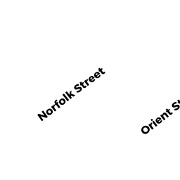
203 NORFOLK ST
Owner Information
GURUNG,CHAYWANG DOLMA +
203 NORFOLK ST
WORCESTER, MA 01604


Property Details
203 NORFOLK ST is classified as a Single Family Residential (Colonial).
The primary structure on this property was built in 2005. There are 3,656ft2 of built area within this property. There is 2,164ft2 of residential/living space within this property. This property is listed as having 7 rooms.
203 NORFOLK ST is valued at $375,800. The land is valued at $54,300 and the structures are valued at $319,200. There is an additional valuation of $2,300 on this property.
This property is in Zone RL-7. Confirm with local Zoning Board authorities to ensure there are no overlays or other easements on this property.
The most recent deed for 203 NORFOLK ST is recorded at the local registrar in Book 57517, Page 0125. 203 NORFOLK ST was last sold on Tuesday, August 1, 2017 for $289,000.
Assessment data from fiscal year 2021.
Flood Data
According to the FEMA National Flood Hazard Layer, this property does not appear to be in a flood zone. It may also be in an area not yet reviewed. Nonetheless, confirm this information prior to taking any action.
To view the flood hazards around this property, create a FEMA "Firmette" Map of the area around 203 NORFOLK ST.
Broadband Internet Providers
| Provider | Type | Bandwidth (mbps) | |
|---|---|---|---|
| T-Mobile | Fixed Wireless | 25 | 3 |
| GCI Communication Corp. | Satellite | 0 | 0 |
| HughesNet | Satellite | 25 | 3 |
| VSAT Systems, LLC. | Satellite | 2 | 1 |
| Viasat Inc | Satellite | 100 | 3 |
| Verizon New England Inc. | DSL | 10 | 1 |
| Charter Communications Inc | Cable | 940 | 35 |
Broadband service provider data from December 2020.
Adjacent Properties
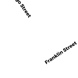
- 576 FRANKLIN ST
Three-Family Residential owned by LALA,MANUEL + ERMELINA - 205 NORFOLK ST
Developable Residential Land owned by DEFUSCO,RONALD A + THOMAS F - 201 NORFOLK ST
Developable Residential Land owned by VERIZON - 550 FRANKLIN ST
Other Storage, Warehouse, and Distribution facilities (see also usecode 401) owned by FRANKLIN-SHREWSBURY STREET LLC